| ||||||||||||||||||||||||||||||||||||||||||||||||||||||||||||||||


The Cultural Landscape of The Irish Midlands
The Dowris-Project
|
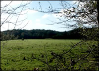
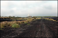
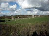
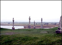
The Dowris Project addresses the assessment of the later prehistoric landscape of the central Midlands of Ireland covering an area of about 9,000km², the great Central Plain, which is characterized by lowland pasture and extensive areas of blanket peat. The principal goals of the work are to develop an understanding of the development of later prehistoric landscape and society in this region, to provide a usable and accessible understanding of this information to the public and other interest groups such as farmers, planners and heritage managers. The first step towards the preservation of the archaeological heritage in this unique landscape, and its accessibility at a physical and intellectual level by the public, is to assess the nature of the surviving material and provide a meaningful and exciting interpretation. Due largely to the relatively poor nature of the agricultural resource the economy in the region has gone through a very difficult period creating long-term unemployment. Although new sustainable developments, such as forestry, have improved the situation these initiatives often have a negative impact on the archaeological resource. A wider understanding and appreciation of the prehistoric cultural heritage can both enhance the protection of this vulnerable resource, as well as providing an opportunity to develop cultural tourism as an aspect of long-term sustainable economic growth. The integrated landscape approach will combine assessments of all late prehistoric sites, monuments and artefacts, within a suite of landscape analyses using the established Geographical Information System (GIS) in the Discovery Programme. The research strategy combines archival research, field study and survey, aerial photography, palaeobotanical studies and museum research to provide the database for the GIS analysis. Mapping systems, including 1:50000 coverage of topography and drainage, soils and geology, have already been developed, as have a range of landscape analysis modules.
Project team: |
|

|
|
|
|
|